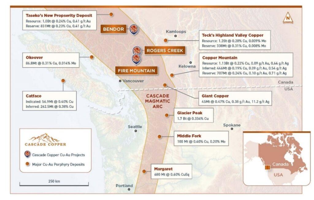
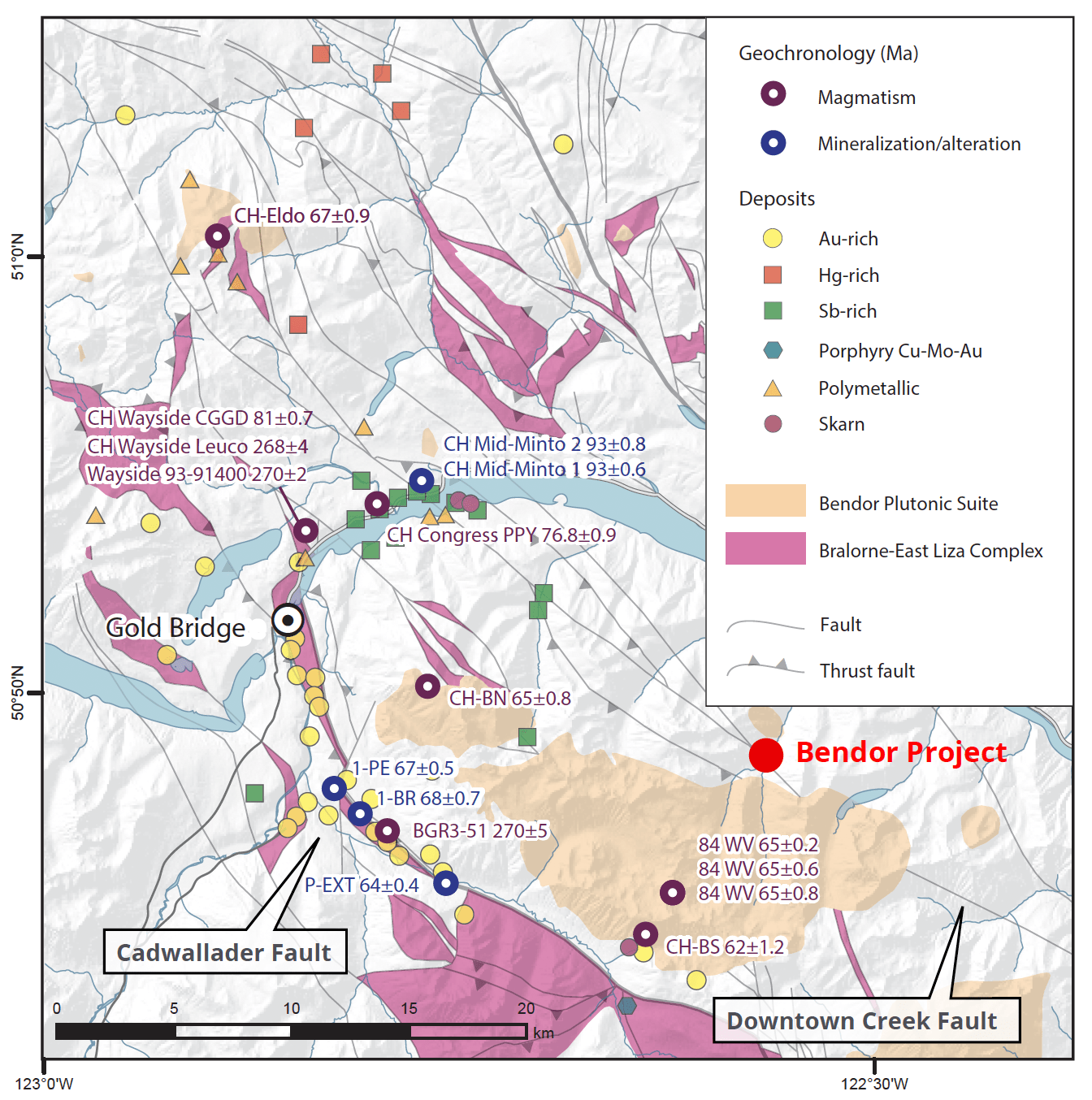
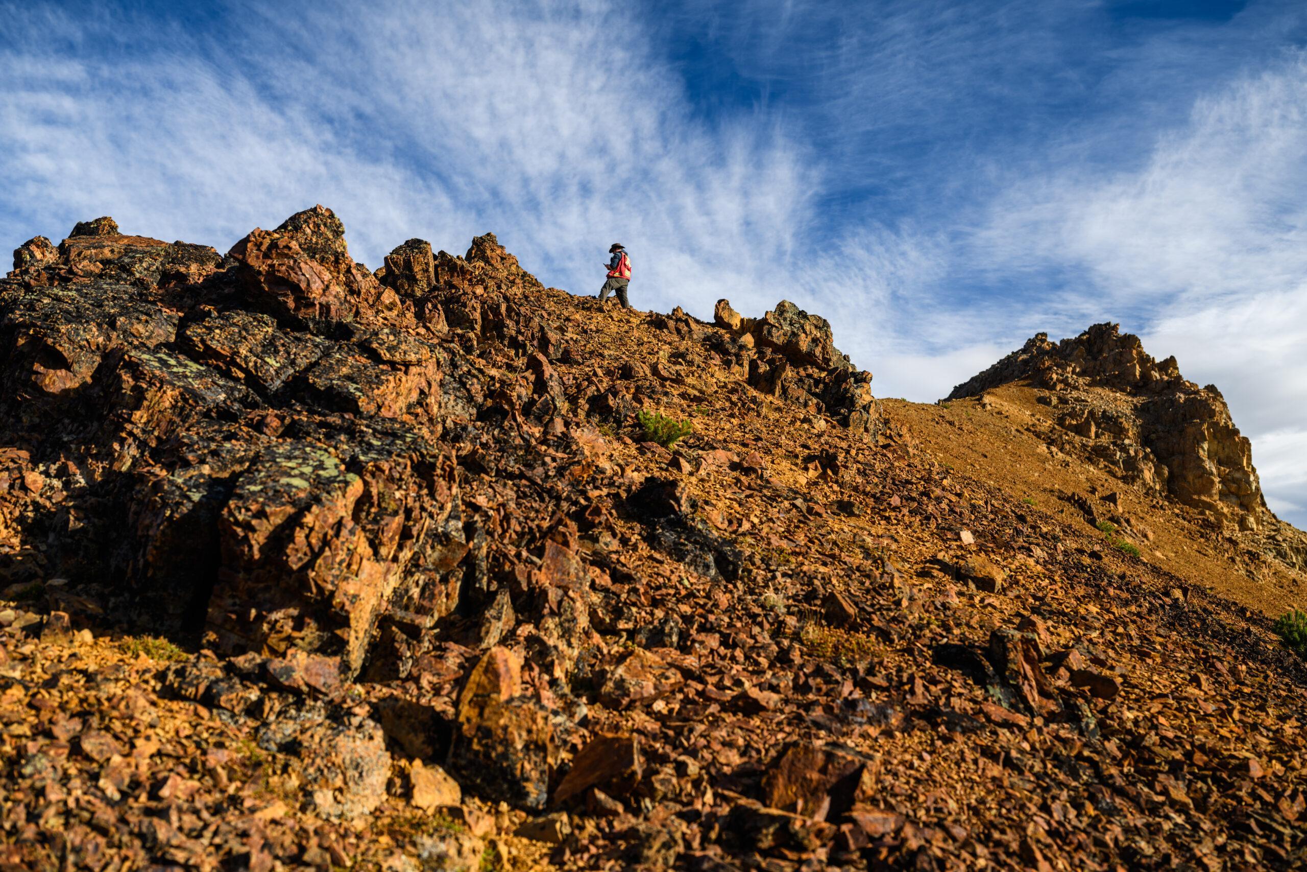
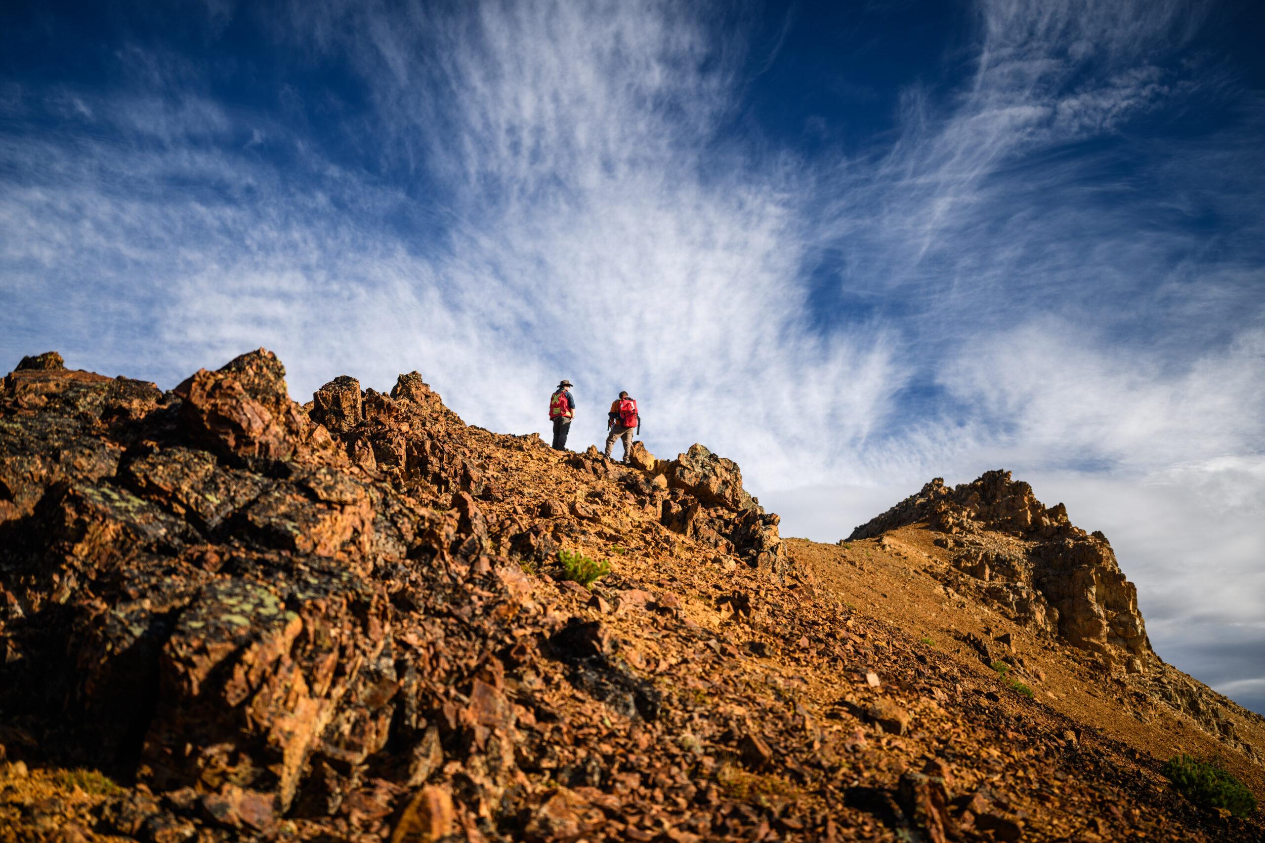
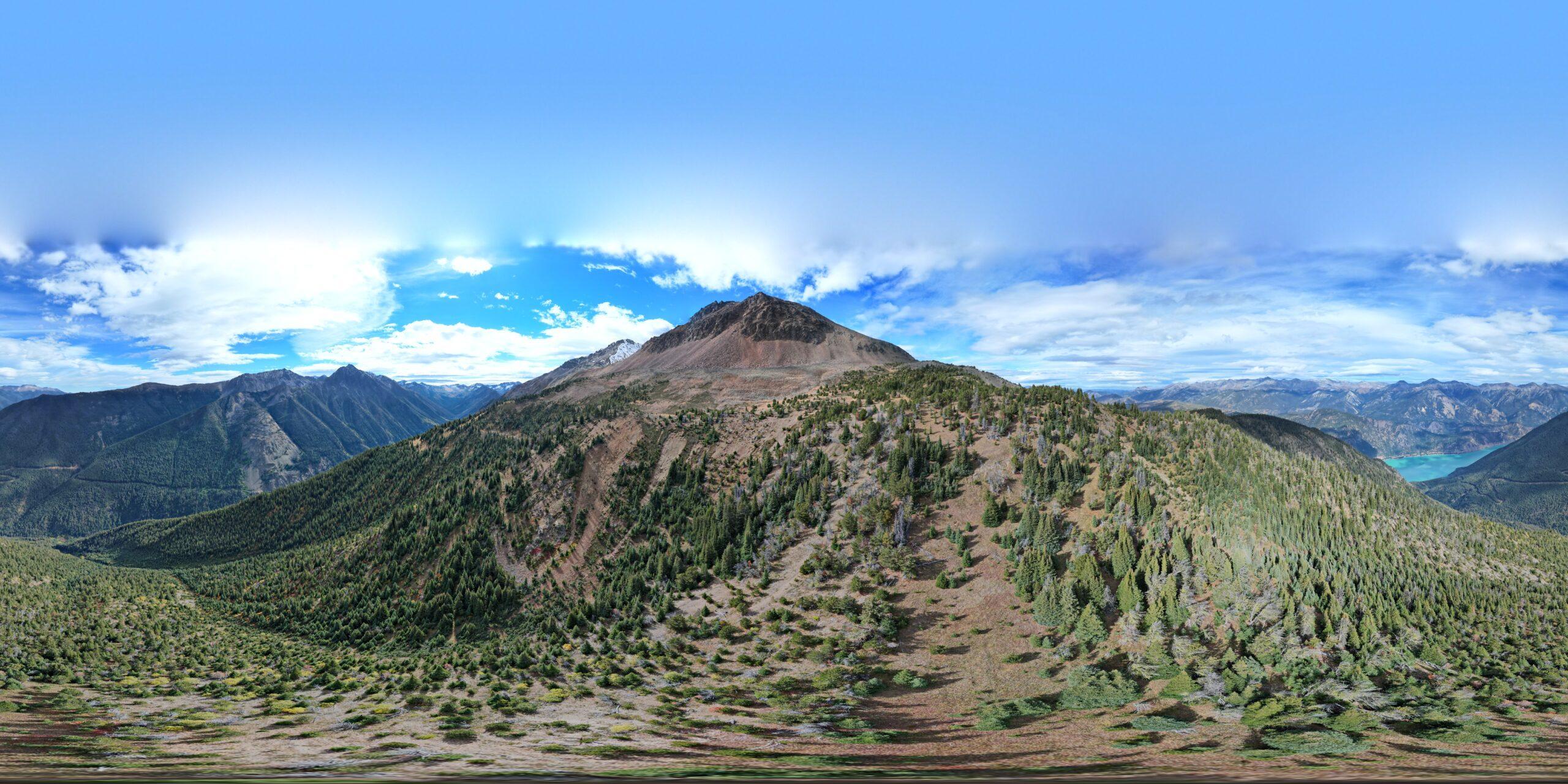
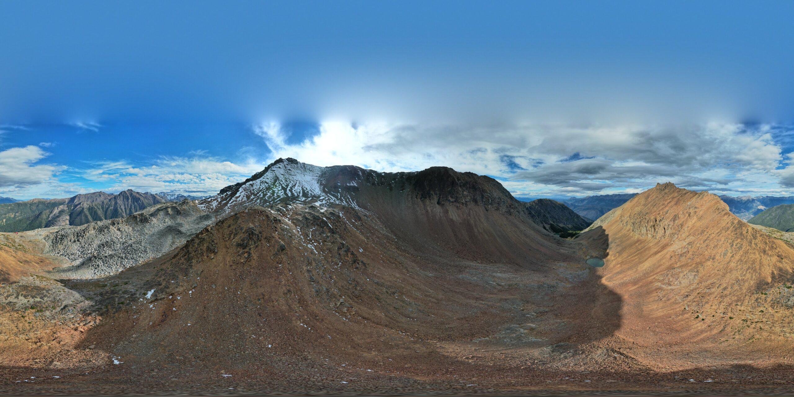
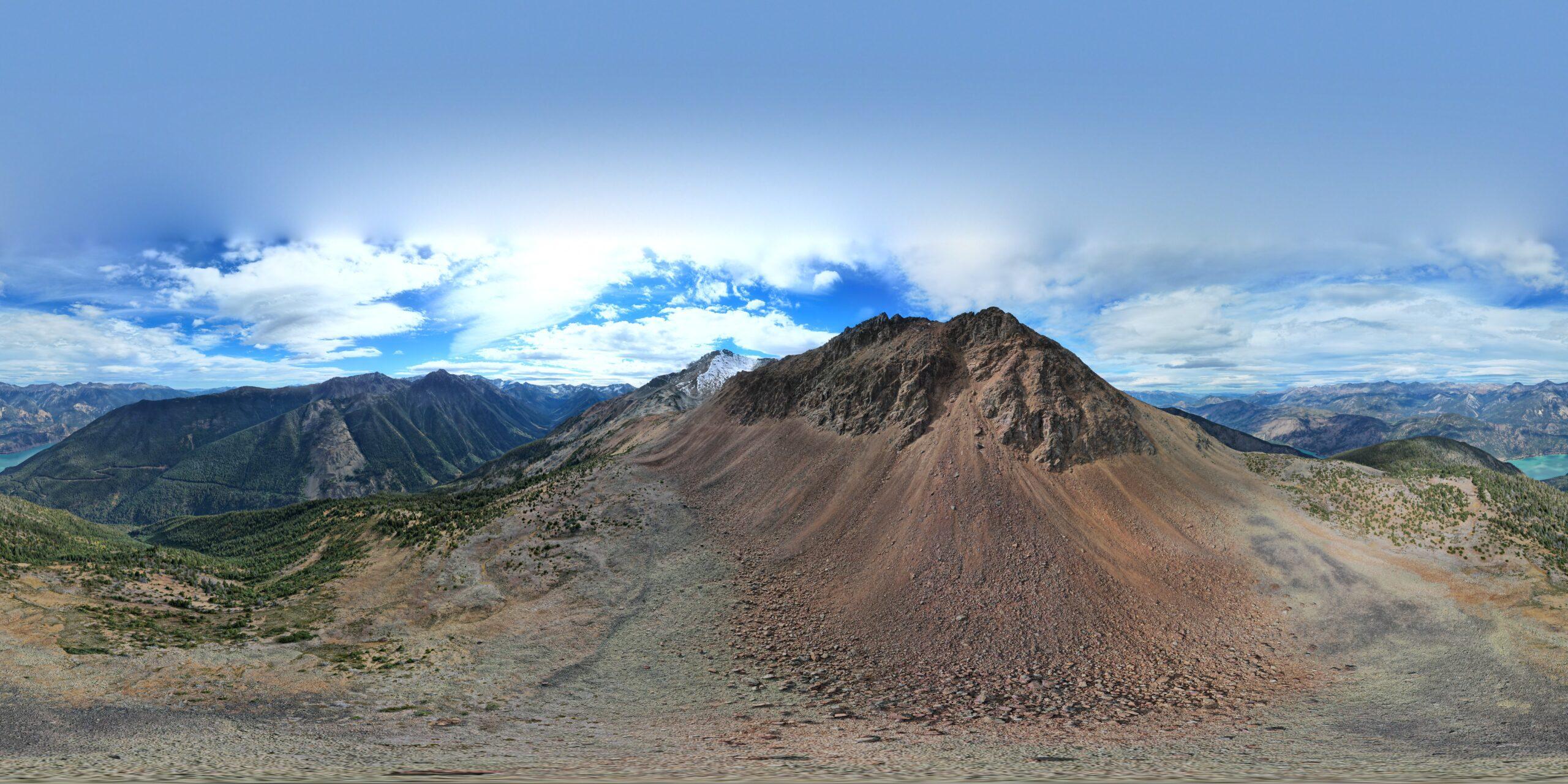
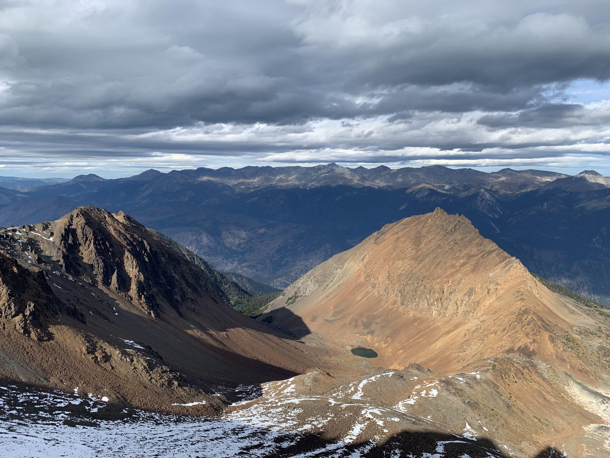
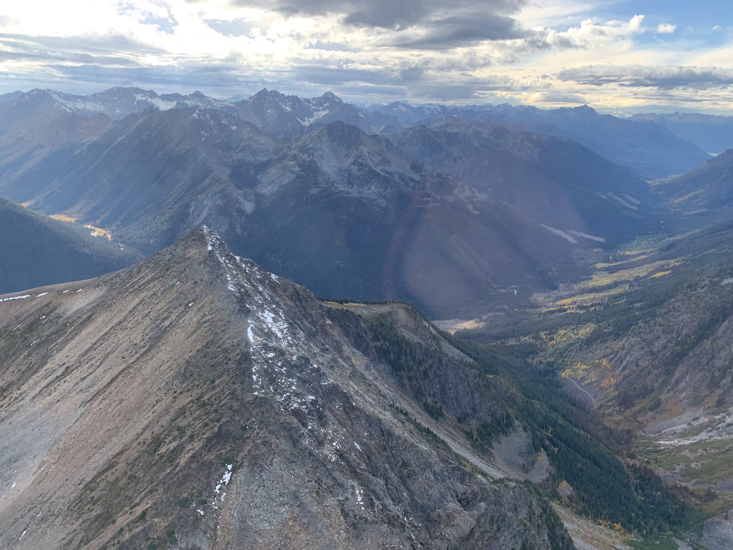
The Bendor Project is a 3000 hectare gold project located within the Bridge River gold belt, a structurally complex north-west trending corridor of highly productive Au-Quartz vein occurrences. The Bendor Project is situated just 22km southeast of Highway 40 at Gold Bridge, BC. in a mining friendly jurisdiction due to the proximal location to the historic and past producing Bralorne and Pioneer Mines where ~4.5 million ounces of gold was produced.
Exploration Targets
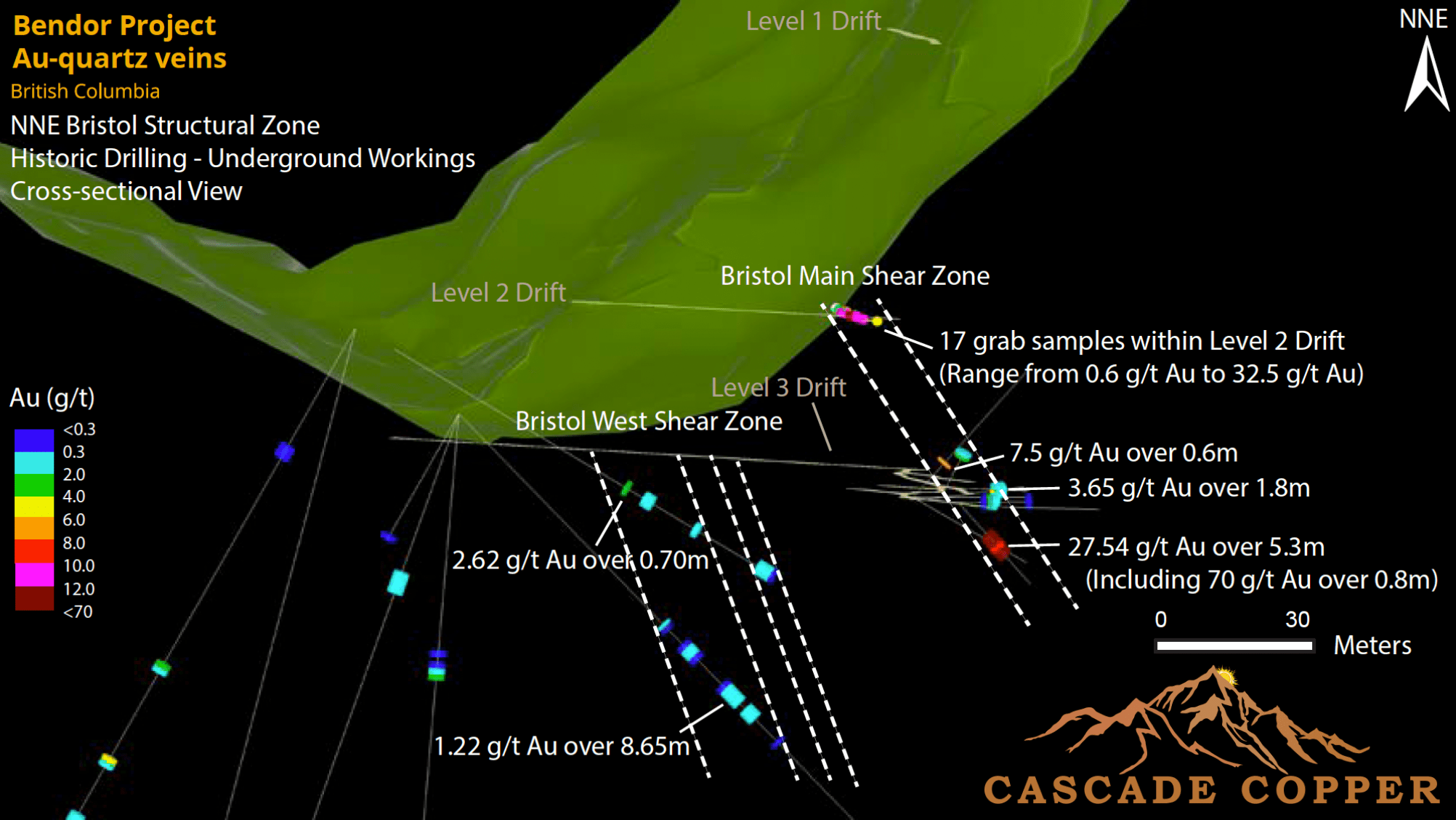
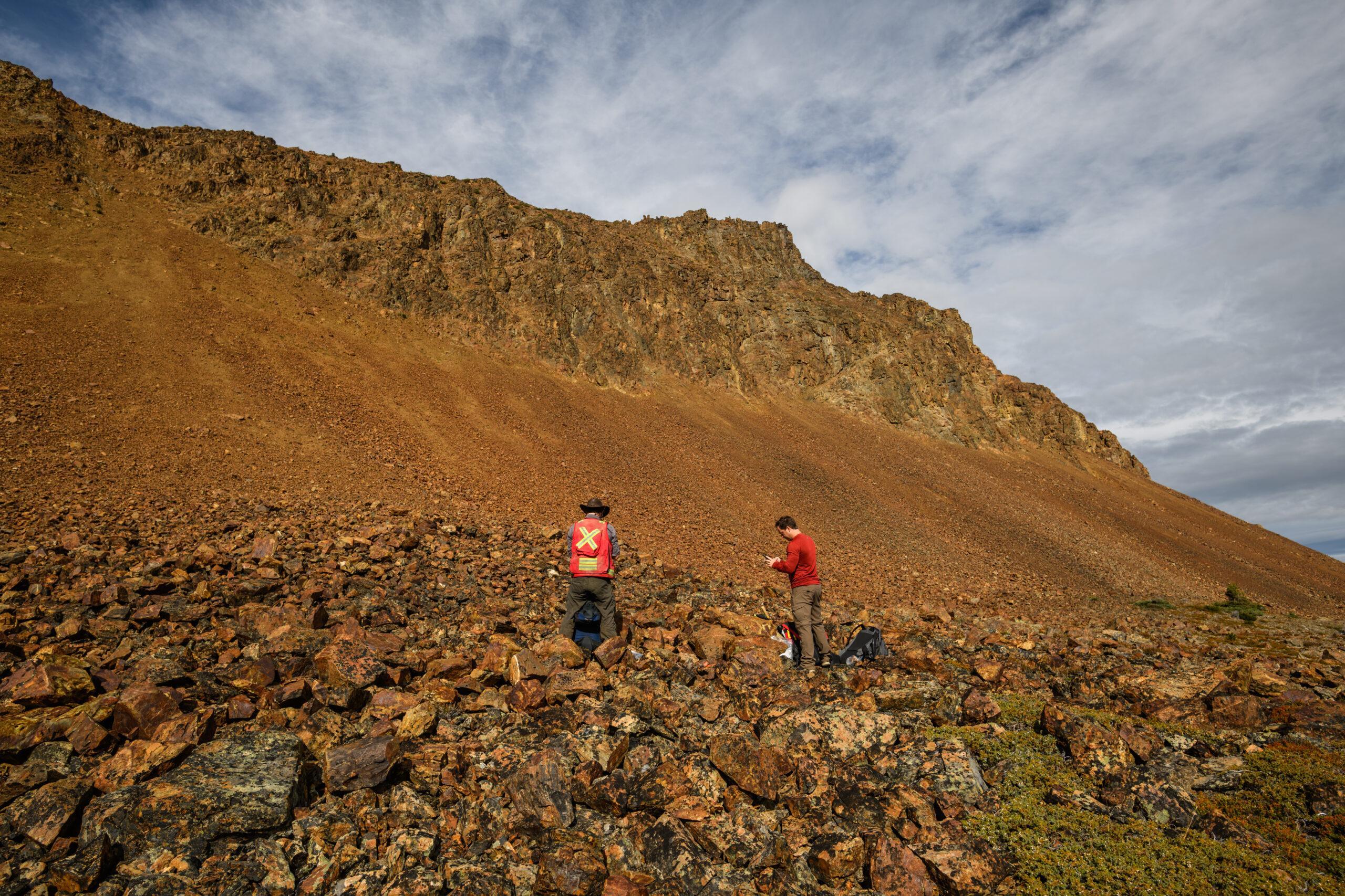
Historic underground drifting outlines major shear and fault systemts where 18 grab samples were collected with assays from 0.6 g/t to 32.5 g/t Au. Higher grades were observed to be in proximity to NNW-trending fault gouge bounded by intense silification/carbonatization alteration
Level 3 was developed ~32m below Level 2 to further explore for high-grade gold occurences. Level 3 remained largely underexplored until it was utilized for an underground drilling program that intercepted up to 27.54 g/t Au over 5.3m, including 70 g/t Au over 0.8m.
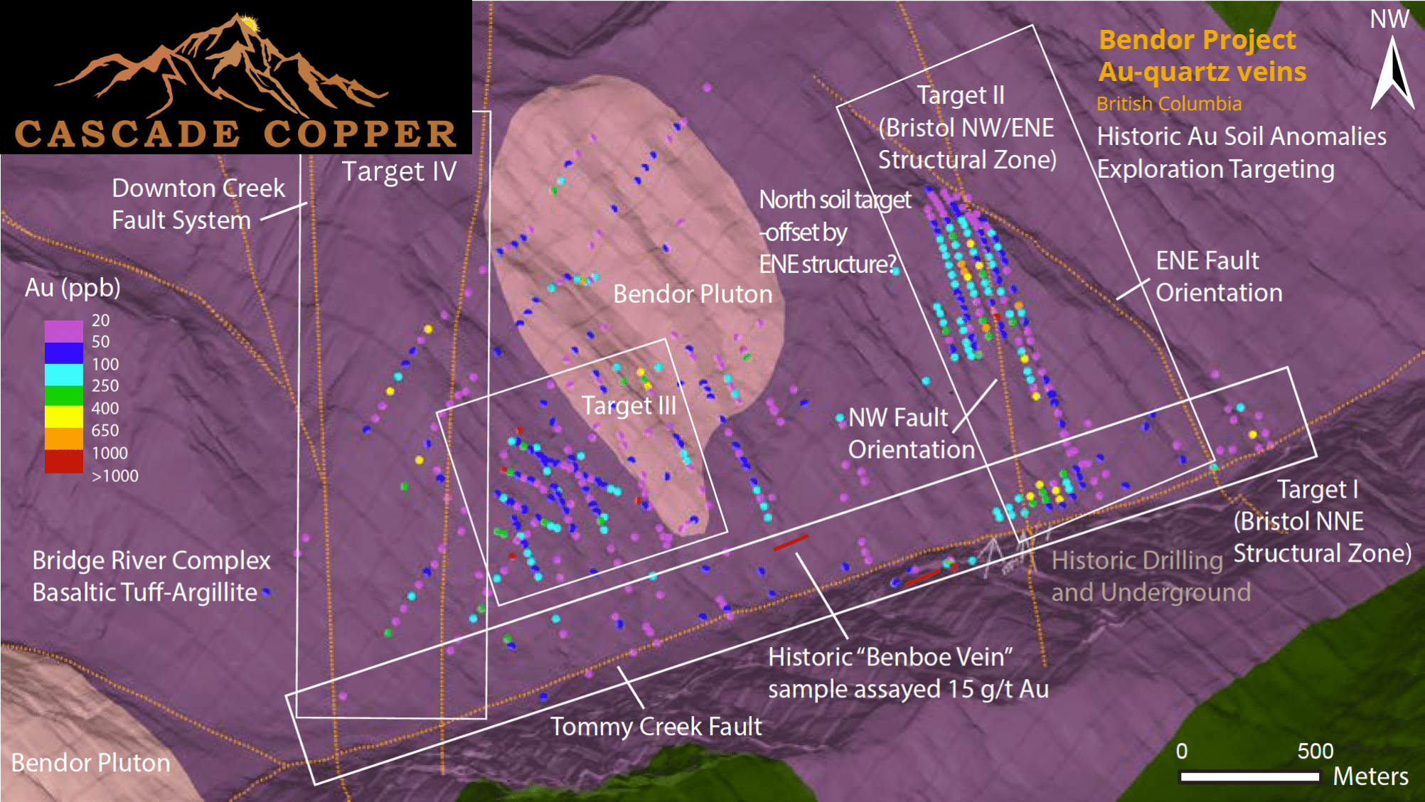
Minimal historic drilling was designed to test ONLY northeast-trending mineralized systems on the Bendor Project – northwest and east-west systems remain to be directly tested.
Complexities of historic drill results could be explained by the presence of additional unrecognized structural controls and mineralized trends to the NW and EW.
There remains significant upside-potential for continued exploration by testing NNE and NNW-trending structures that could act as important conduits and structural controls for the concentration of gold-bearing hydrothermal fluids.
Exhibits excellent ground preparation and upside-potential, with defined targets presenting a number of exciting opportunities for future significant gold discoveries.
Historical Highlights
~3000 ha located along the Bridge River gold belt, just 22km southeast of Highway 40
Located along the major NW-trending Downtown Creek Fault system.
Severely under-explored, strong Au-As correlations identified at Bralorn-Pioneer are also observed on the Bendor Property
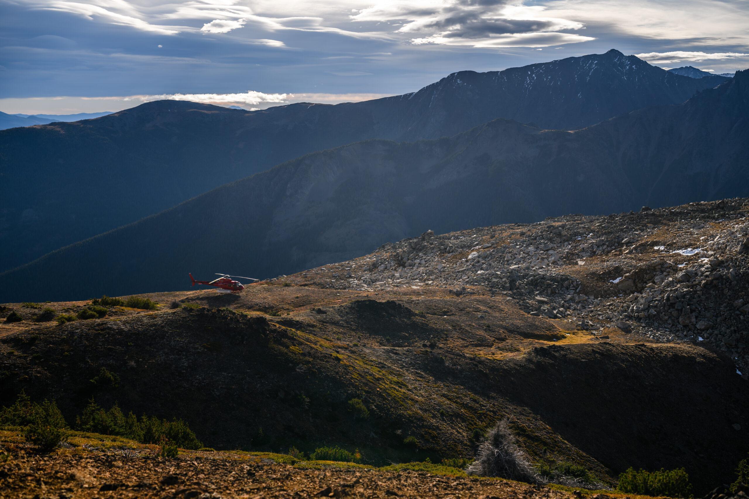
Pre-existing access road
Major transmission line following Carpenter Lake approx 3km to the NE
Railroad 44km to the east
Historic underground workings identified a 6m wide shear where grab samples assayed up to 32.5 g/t Au.
An underground drilling program intercepted up to 27.54 g/t Au over 5.3m, including 70 g/t Au over 0.8m.
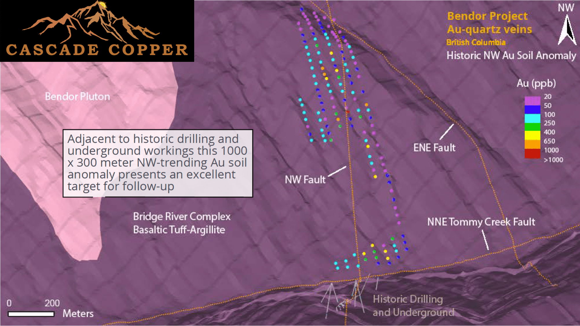
The northwest-trending soil anomaly (1000 X 300 meters) adjacent to historic drilling and underground workings could be explained by a shallow-dipping extensional system that has NEVER been directly drill tested.
Exhibits excellent ground preparation and upside-potential, with defined targets presenting a number of exciting opportunities for future significant gold discoveries.
3D Magnetic Inversion Reveals Significant Interconnected Body Beneath Mineralized Zones Vancouver, British Columbia – February 26, 2025. Cascade Copper Corp.
Data Compilation Reveals Significant Historical Gold Values with 3D Interpretation Now Underway Vancouver, British Columbia – Nov 20, 2025 – TheNewswire – Cascade
Vancouver, British Columbia – TheNewswire – December 2, 2024 – Cascade Copper Corp. (CSE: “CASC”) (“Cascade” or the “Company”) is pleased to announce that it